Live Feed: Fire Cams
|
There are 39 observation cameras in place throughout San Diego County to monitor for wildfires. CalFire operates two cameras in Crest which cover the surrounding area:
Crest Camera 1 | Crest Camera 2 The links above will take you to AlertWildFire.org and bring up the view from the camera you selected. In addition, the map on the right side of that page can bring up current wildfire hazard zones, lightning intensity, and the field of view for the camera you selected. |
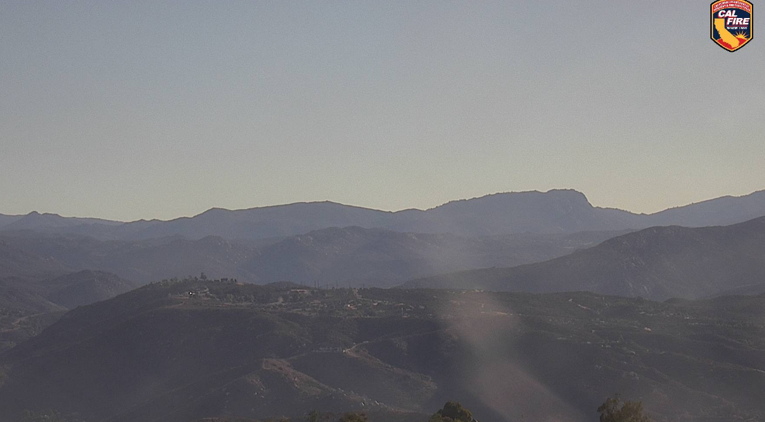
Sample image from Crest camera 1. This image is not the live feed. Click on a link to go to the live feed.
|
Fire Weather Snooper: National Weather Service
|
The National Weather Service compiles data in real time on conditions in every part of the country. The "Fire Weather Snooper" flags weather stations where there is a higher risk of fire. The stations in Alpine and Japatul are closest to Crest/Dehesa/Harbison Canyon/Granite Hills.
Fire Weather Snooper: All stations served by San Diego County office Click here for the Map View |
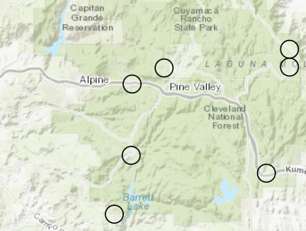
Sample image and not a live feed. Click one of the links to see live data.
|
Fire Map and Incident Information: CalFire
CalFire continually updates a map of fires in the state of California and information on each incident.
CalFire Fire Map and Incident Information
CalFire San Diego's Twitter Feed (Provides updates on incidents in San Diego County)
CalFire Fire Map and Incident Information
CalFire San Diego's Twitter Feed (Provides updates on incidents in San Diego County)